- The Institute
- Research
- Dictatorships in the 20th Century
- Democracies and their Historical Self-Perceptions
- Transformations in Most Recent History
- International and Transnational Relations
- Edited Source Collections
- Dissertation Projects
- Completed Projects
- Dokumentation Obersalzberg
- Center for Holocaust Studies
- Berlin Center for Cold War Studies
- Publications
- Vierteljahrshefte
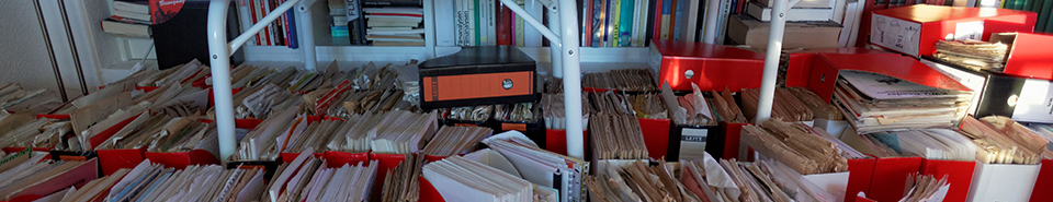
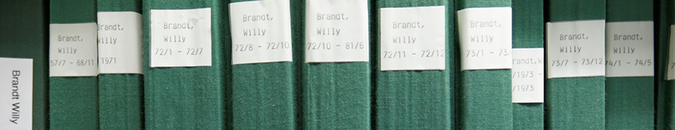
- The Archives
- Library
- Center for Holocaust Studies
- News
- Dates
- Press
- Recent Publications
- News from the Institute
- Topics
- Munich 1972
- Confronting Decline
- Feminist, Pacifist, Provocateur
- Der Mauerbau als Audiowalk
- Digital Contemporary History
- Transportation in Germany
- Envisaged Futures at the End of the Cold War
- From the Reichsbank to the Bundesbank
- German Federal Chancellery
- History of Sustainabilities: Discourses and Practices since the 1970s
- Changing Work
- Democratic Culture and the Nazi Past
- The History of the Treuhandanstalt
- Foreign Policy Documentation (AAPD)
- Dokumentation Obersalzberg
- Hitler, Mein Kampf. A Critical Edition
- "Man hört, man spricht"


Maps
The archives’ small collection of maps includes military maps from the First World War as well as German army maps from the Second World War in addition to those of the British War Office and the U.S. Army. It also contains some ethnographical maps, especially from the 1930s and 1940s. The map collection focuses on Bavaria for the period following 1945, but also a few maps of the occupation zones and the GDR. There are also cartographical works from the post-war era, including maps of the Nazi camp system.
© Institut für Zeitgeschichte